
Silk escape map
Item
Title
Silk escape map
Description
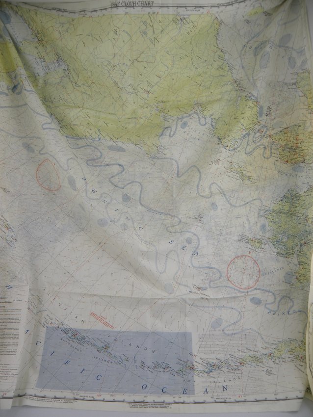
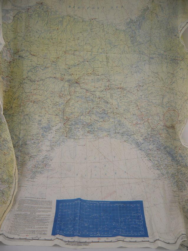
USAF CLOTH CHART (CL54/CL55) Silk escape map of Alaska/ Beaufort Sea/Gulf of Alaska. Blue Navigational Star Chart. Bering Sea/Aleutian Islands are on the reverse side.
Identifier
008.500.162
Format
Provenance
During World War II, the United States and Great Britain produced in excess of 3.5 million silk maps and cloth maps for Allied military personnel to use as escape maps. In 1940, the British military intelligence unit, known as MI 9, started issuing silk maps for use by British aircrews shot down over enemy occupied territory in Europe. The silk maps were intended to assist airman in evading capture. MI 9 also smuggled silk and tissue paper escape maps into POW camps in Germany along with other escape aids to encourage POWs to attempt escape.
Abstract
Excellent
Date Created
1947