
Navigational map used for operations flown by the no.12 Squadron Wickenby
Item
Title
Navigational map used for operations flown by the no.12 Squadron Wickenby
Description
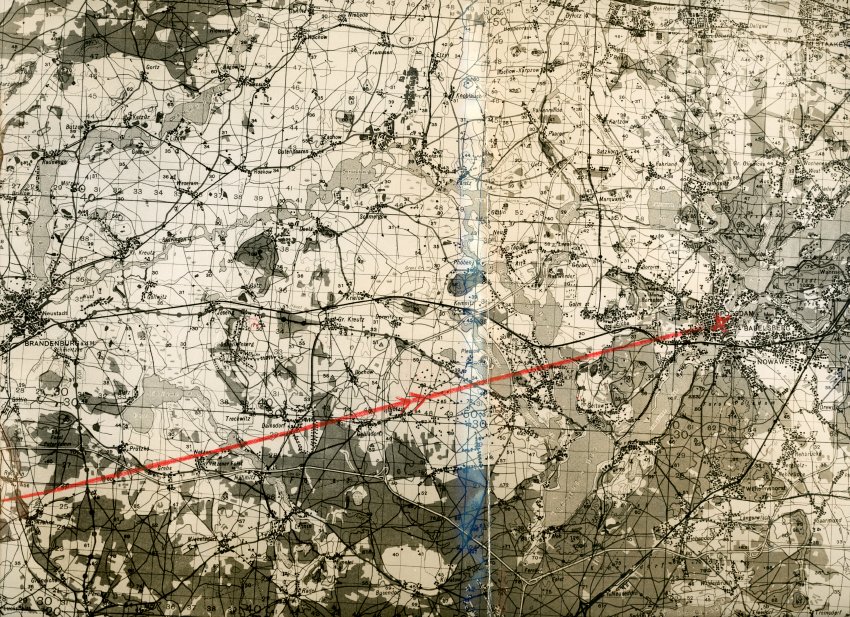
Navigational map used for operations flown by the no.12 Squadron Wickenby. On one side is a map featuring Postdam, the Havel River, south west of Berlin, and Brandenburg. This map features a drawn, red arrow and x marking a location in Potsdam. Bruce McPherson was a bomb aimer on a Lancaster and it could be assumed that the map indicates a target.
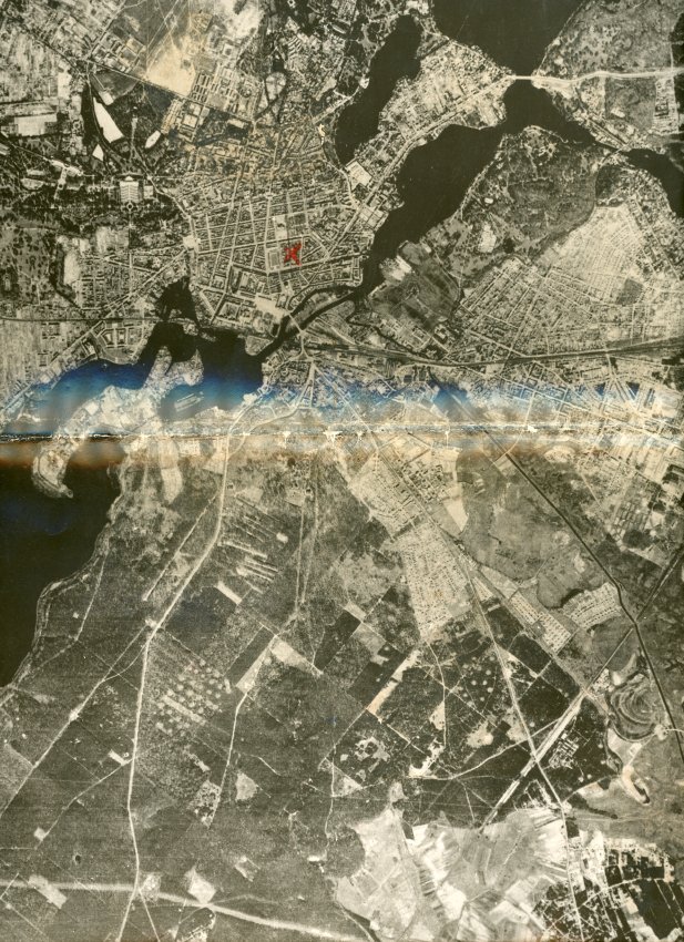
On the reverse is a aerial photo of Potsdam, Germany. This image also has a drawn, red x on it.
The Location marked on the map is the city block between Charlottenstrabe and Am Kanal, and Platz d. Enheit and Franz Street, in current day Potsdam. Approximately 52°23'57.6"N 13°03'40.0"E
This map may be a photograph of an original, larger map. It appears the images were glued together to make a two-sided map. It is folded down the centre.
On the reverse is a aerial photo of Potsdam, Germany. This image also has a drawn, red x on it.
The Location marked on the map is the city block between Charlottenstrabe and Am Kanal, and Platz d. Enheit and Franz Street, in current day Potsdam. Approximately 52°23'57.6"N 13°03'40.0"E
This map may be a photograph of an original, larger map. It appears the images were glued together to make a two-sided map. It is folded down the centre.
Date
Identifier
025.038.020