
Officers Training Corps Examination for Certificates of Proficiency Great Britain
Item
Title
Officers Training Corps
Examination for Certificates of Proficiency
Great Britain
Examination for Certificates of Proficiency
Great Britain
Description
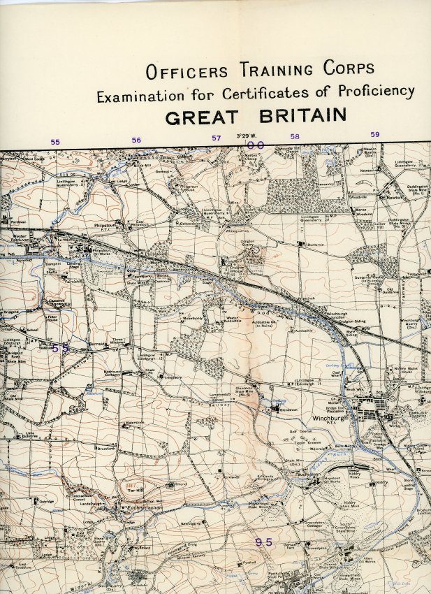
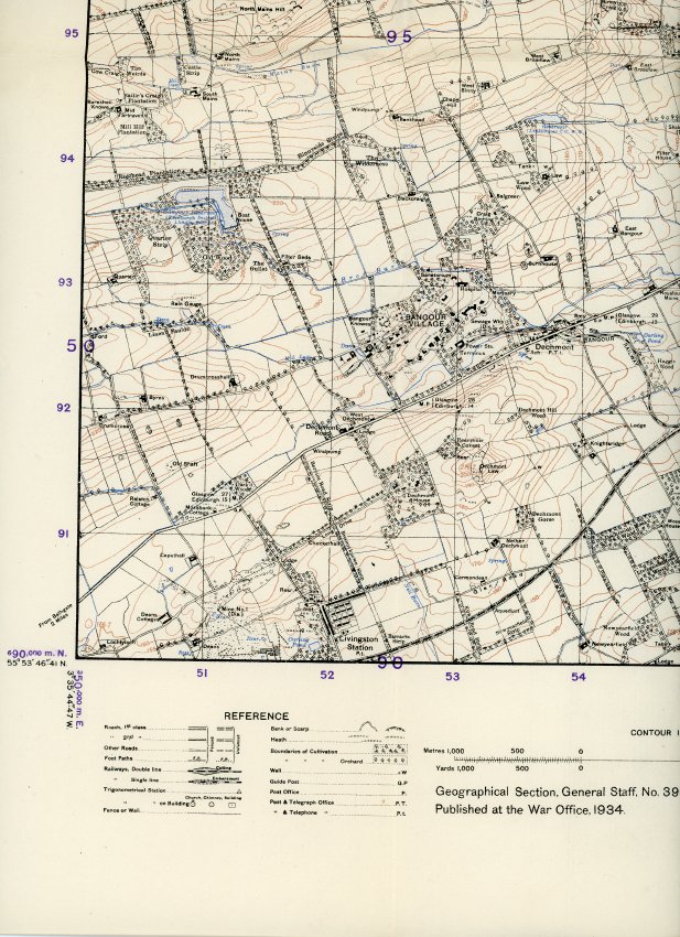
The topographic map is printed in colour on paper. It features the communities of Broxburn, Ratho, Kirkliston, Winchburgh, Uphall, and Bangour Village, Scotland.
The map includes the following in its key:
- Roads
- foot paths
- railways
- trigonometrical stations
- fences and walls
- banks and scarps
- heaths
- wells
- guide posts
- post offices, post and telegraph offices, post and telephone offices
It also features an Index of the adjoining sheets at the right of the map.
The map is Crown Copyright Reserved
Geographical Section, General Staff no.3906
Published at the War Office
Drawn and Heliozincographed at the Ordnance Survey 1934
Printed at the War Office, 1938
The map includes the following in its key:
- Roads
- foot paths
- railways
- trigonometrical stations
- fences and walls
- banks and scarps
- heaths
- wells
- guide posts
- post offices, post and telegraph offices, post and telephone offices
It also features an Index of the adjoining sheets at the right of the map.
The map is Crown Copyright Reserved
Geographical Section, General Staff no.3906
Published at the War Office
Drawn and Heliozincographed at the Ordnance Survey 1934
Printed at the War Office, 1938
Date
Identifier
025.038.025